Saturday, June 21, 2025

Walking the Wall: Getting to the Starting Place

When I was in the fourth grade, I read a book by Rosemary Sutcliff entitled The Eagle of the Ninth, a Young Adult novel set in Roman Britain one generation after Hadrian's Wall was built.Sutcliff based her story on the question of the Ninth Legion, also known as Legio IX Hispana, who were assigned to the northern provinces, and founded the cities of York, Leicester, and Lincoln before mysteriously disappearing from the historical record. She uses one theory for their disappearance, plus the 1866 discovery of a Roman sculpture of an eagle in the town of Silchester to craft a story about Marcus Flavius Aquila, a young Roman officer who chooses an assignment in Britain so that he can discover the truth about his father, who disappeared when he was very young. Disguised as a Greek oculist and accompanied by Esca, his British freed ex-slave, Marcus travels beyond Hadrian's Wall in an attempt to learn the truth and recover the Lost Legion's gilded bronze eagle so that it can no longer serve as a symbol of Roman defeat – and thus be a danger to the frontier's security. This book piqued my interest in Roman Britain and the Iron Age, and made me want to explore the frontier between England and Scotland.

This summer, I finally got to fulfill that long held dream. After fifty five years, I finally got to hike the length of Hadrian's Wall.  (What and where is Hadrian's Wall? Click here to find out.) I was joined in this grand adventure by my husband, two women who are hiking buddies of mine back home, and their husbands. I began planning the details of the trip eight months before we finally boarded a plane and began the adventure.

One of the first decisions I had to make was which direction we were to hike the 84 mile trail. Traditionally, people begin at Newcastle and hike west to Bowness-on-Solway, because that is believed to be the direction in which the wall was built. The milecastles, little fortlets that are built into the wall every mile, are numbered from east to west. Besides, getting to Newcastle is easy. It is a big city, and a hub for rail travel. It has an airport, and buses also come through, going in all four directions. However, I'd read that the prevailing winds came from the west, and that the views of the craigs, the most picturesque and dramatic scenery along the wall, was more stunning when seen looking east. So I chose to hike west to east, beginning at Bowness-on-Solway. 


Getting to Bowness-on-Solway, a little village that has just over a thousand people in it, was a bit harder. Located in Cumbria, the historic county of Cumberland, it lies on the southern side of the Solway Firth. Across the water lies Scotland. The nearest sizable town is Carlisle, some 15 miles to the east. We flew into Edinburgh, then took a train from Edinburgh's Waverley Station to Carlisle. The cost of tickets on the three carriers varies widely, and it is both advisable and cheaper to purchase them in advance. The 73 mile train trip took about an hour and a half. 

From Carlisle, we could either take a bus (the 93. You pay while boarding) or a taxi (there are several different companies to choose from. Uber also works in the UK) to Bowness-on-Solway. We chose the bus, since it cost £3 and a taxi (which we would have needed two of since there were six of us with luggage) can easily amount to £30. We had a few hours to kill before our bus was to depart, so we we stowed our luggage in a hotel close to the train station, using an app called Stasher and saw a few sites, which I'll share in a future blog.

Our bus ride proved to be quite the introduction to rural British roads. It's unsettling enough to be traveling on what feels like the "wrong" side of the road, but when the road is barely wide enough, it's really unnerving, especially when the traffic  going the other way seems to be coming right at you. Tall hedges bounded the road, making some of the travel feel like it was going through a green tunnel.
Fortunately, there were wide places in the road every so often, and drivers seemed to know exactly
where they were, so they could dart to the side as the bus barreled toward them. The only time the bus had to stop was for a herd of cows that didn't seem to understand that the bus outranked them. The bus driver waited patiently for the cows to move before hurtling on. Look closely and you can see the cows peering in the front windshield of the bus while my friend Caryl, who was right in front of me, laughs about it. 

We arrived in Bowness-on-Solway in the early evening and checked into Shore Gate House, a B&B in a beautifully preserved 17th century mill house that sat right on the water's edge. All six of us have agreed that this was the finest lodgings of the entire trip. The rooms were clean and well appointed, and each had its own bathroom. 
David and Linda were the kindest of hosts. David let us in, then sat us in a front parlor, where he gave us each a cup of tea. He sat with us and discussed our plans, giving us advice, especially about meals along the trail. His advice proved spot-on and saved us from having to go hungry more than once. He even called ahead and secured tables for us. 

We had dinner that night in 
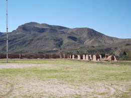
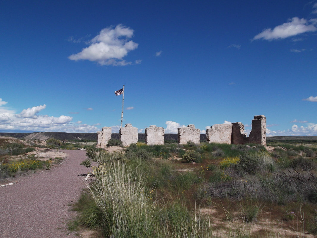
The King's Arms, a very traditional little English pub that wasn't crowded, but still likes advance notice so they'll have enough food. Afterwards, we wandered through the town, taking in its quaintness and making sure we knew exactly where to start the next morning. Bowness is a town with a lot of history. Maia, the last of the forts along Hadrian's Wall was here. After the Romans left, its inhabitants were frequently raided by Scots who'd crossed the firth, and they in turn raided the Scots. Now, it is a sleepy and peaceful place. 


My traveling buddy Jane, reading a sign that describes the life of a Roman soldier, and standing on the shore of Solway Firth just after sunset. It was low tide. At high tide, she would have been waist deep in water. 

As I slipped into bed that night, I felt that I had made the right choice in starting out from this magical place. I couldn't wait for morning, to begin the trek I had wanted to do for so long.

Thursday, June 5, 2025

Places to go to Experience ​the Civil War in New Mexico


Places to go to Experience
​the Civil War in New Mexico

A lot of time has passed since the Civil War moved through New Mexico. During that time, the Rio Grande has moved its bed, obliterating the old battlefield. Asphalt roads have been laid down where trails used to be. Old buildings have been torn down and replaced by others. All this makes it impossible to see that a soldier might have seen back in the 1860s, but there are still places a interested person can go to see what this period might have been like. Here are a few suggestions. Call ahead to make sure that sites are open. 

In Texas
The Military Forces Museum in Austin is housed in a 1918 mess hall and features thousands of war relics and historic photos representing every war from Texas Independence to the present. 512-782-5659
The Institute of Texan Cultures in San Antonio has exhibits about the different cultures that have come together in Texas. They have a small exhibit of Civil War artifacts. 210-458-2300.
The route that Sibley took to get to New Mexico roughly follows I-90. The Army of New Mexico did not stop at Fort Lancaster, which is located near the town of Sheffield, near I-10, but the ruins of the fort are open and a good example of the kinds of forts that were in Texas at the time. 432-836-4391. Farther west, Fort Davis also has a self guided walking tour. 432-426-3224. Old Fort Bliss is a reconstruction of the adobe fort that existed at the time of the Civil War, and is open for tourists. There is also a military museum at the newer portion of Fort Bliss that has artifacts and exhibits.  915-568-4518 or 915-588-8482.
In New Mexico
It wasn’t there at the time, of course, but when Sibley invaded New Mexico, he largely followed what is now the 1-25 corridor. Here are some places where you can see places mentioned in this story. Call ahead to verify that sites are open. 

Old Mesilla was the Confederate western headquarters. Located south of Las Cruces, you can visit the plaza, where the Confederate flag hung. There are Civil War artifacts in the Gadsden Museum, which is located at 1875 W Boutz Rd in Mesilla 575-526-6293.

San Augustin Spring, where Major Isaac Lynde surrendered the garrison of Fort Fillmore to Confederate Lieutenant Colonel John R. Baylor, is just over 14 miles east of Las Cruces on I-70. The springs are not easy to access, but the drive up to San Augustin Pass helps explain why Lynde’s men were struggling in the summer heat, and the view of White Sands and the Tularosa Basin is spectacular.
PictureFt. Selden
The Army didn’t create Fort Seldon until 1865, but the Confederates created Camp Robledo there in 1861 to protect the northern entrance of the Mesilla Valley. The present-day State Monument has displays and self-guided tours that reflect 19th century military life, with a focus on the Buffalo Soldiers and Douglas MacArthur, who lived at the fort when he was a young boy. 575-526-8911. 

Only the bottom few feet of some adobe walls, the remnants of the stone jail, and some mounded dirt is all that’s left of Fort Craig, but the National Historic Site offers brochures and self-guided tours. 575-835-0412 From here, the Mesa de la Contadera looms up in the north, making it clear where the battle was fought. The actual battlefield is on private land and is inaccessible except by private tour. The Geronimo Springs Museum, in Truth or Consequences, has hosted these tours in the past. (575) 894-6600.

Picture
Close to the battlefield, on the west side of the Rio Grande is a Civil War Monument, erected in 1936, that honors the Confederate men and Texas Mounted Volunteers who died at the Battle of Valverde. To see it, take the San Marcial Exit off I-25 (A85) and go east. The monument is right near the entrance to the Armendariz Ranch. San Marcial, a small town built after the Valverde battle which is now a ghost town, is nearby. The town of Valverde, which was already abandoned by the time of the Civil War, was across the river from San Marcial.


Picture
In past years, Socorro sponsored a reenactment of the Battle of Valverde on the weekend closest to the February 21 anniversary of the battle. The town also sponsors several historic walking tours that visit period houses around the plaza. 575-835-0424 The San Miguel church is also on the plaza. Both Pedro Baca and Manuel Armijo are buried there. (575) 835-2891. Some Civil War information can be viewed at the BLM office. (575) 835-0412 in Socorro. 

Picture
 Alfred Petticolas, a Confederate sergeant, sketched this picture of the Confederate flag flying in front of Albuquerque's San Felipe Church when southern troops occupied Albuquerque from March 2 to April 12, 1862.  Albuquerque’s Old Town plaza no longer flies the Confederate flag (it was finally taken down in the early 2000s), but two cannons remain near the grandstand. The cannons are replicas of two of the eight cannons which the Confederates buried in a stable behind the church so they could use the guns’ carriages to carry supplies.  The cannons were dug up in 1889. 

They are also said to have buried some of their dead – casualties of battle or illness – in Albuquerque, but no Confederate graves ever have been found in the Albuquerque area. 

Picture
The National Cemetery in Santa Fe was created in 1867 as a result of John P. Slough's efforts to have proper burials for the soldiers killed at Glorieta. The first interments at the cemetery site were the remains of 265 U.S. soldiers taken from the battlefields of Glorieta, Kozlowsky's Ranch, and Fort Marcy. Later, the remains of five Confederate soldiers were removed from the Masonic Cemetery and reinterred in the Santa Fe National Cemetery. The cemetery also has the reinterred remains of soldiers from Fort Craig, which date from the Civil War era and include many Buffalo Soldiers from a later period. Captain James (Paddy) Graydon is buried in plot 9, C474. The cemetery also has a monument honoring the remains of 31 Confederate soldiers who were discovered in a mass grave on the site of the Glorieta battlefield on June 23, 1987 and were reinterred at the Santa Fe National Cemetery on April 25, 1993.

Picture
Some of the heaviest fighting during the Battle of Glorieta Pass occured at Pigeon's Ranch. ​Built around 1857 by Alexander VallĂ©, a Frenchman known as Pigeon for his dancing style, this house is all that remains of his 23 room establishment that was a popular place to stay along the Santa Fe Trail. From 1926 to1937, when Route 66 passed right beside the house. it became a popular roadside attraction. All that remains is a single building which huddles, forgotten, along ​ NM HW 50 just west of Pecos, New Mexico. The “Oldest Well in the U.S.A.” is still across the road from the ranch house. 

Pecos National Park holds what had been Kowzlowski's Ranch, where the Union made its headquarters for the Battle of Glorieta Pass. Their museum has some exhibits about the battle and, in the past, a Union and Confederate camp has been set up on the weekend closest to the date of the battle. A 2.3 mile Civil War Battlefield Trail can be accessed by  checking in at the Visitor Center and getting a gate code from a ranger.

Planning to walk the Civil War Battlefield Trail? Here's a guide that supplements the one the forest service can sell you.

Walking the Wall: Getting to the Starting Place

When I was in the fourth grade, I read a book by Rosemary Sutcliff entitled The Eagle of the Ninth , a Young Adult novel set in Roman Britai...